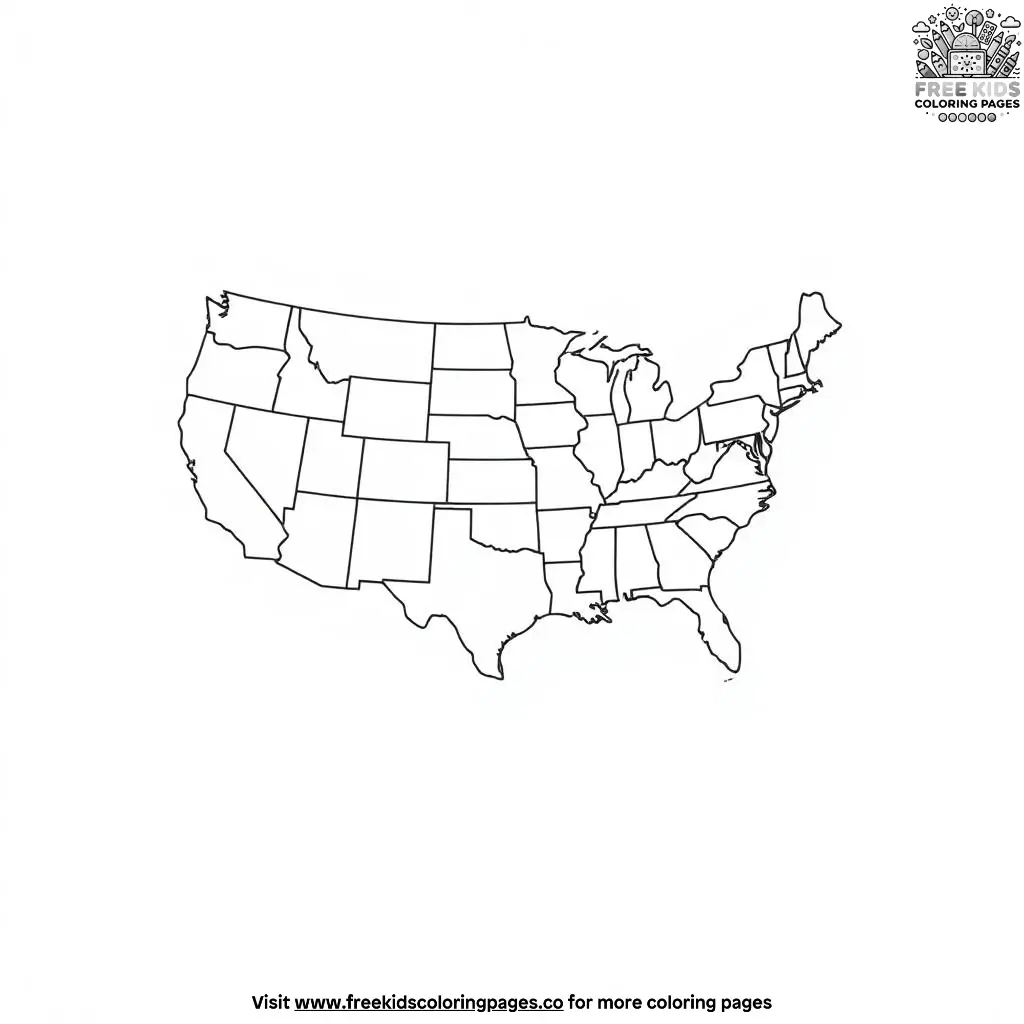
The USA Map Outline Coloring Pages transform geography into an engaging artistic adventure. As children begin coloring these comprehensive illustrations of the United States, they discover the unique shapes and sizes of all fifty states, from Alaska’s vast expanse to Rhode Island’s compact form.
The detailed outlines encourage learning about state boundaries while developing artistic skills and geographic literacy. Through careful attention to each state’s borders and relative position, children gain insights into American geography, regional characteristics, and the diverse landscapes that make up our nation.
The USA Map Outline Coloring Pages provide opportunities to discuss state capitals, regional cultures, and the historical development of state boundaries. As young artists work on coloring each state, they develop spatial awareness while strengthening their understanding of America’s geographic diversity.
Parents and educators can use these activities to explore topics like population distribution, climate zones, and the significance of state symbols. The coloring experience encourages conversations about interstate relationships, territorial expansion, and the unique features that define each state.
Through careful attention to geographic accuracy, children learn about American territories while creating their own artistic interpretation of our nation’s maps.

Reviews
There are no reviews yet.